

CBP is carrying out President Trump’s Executive Order 14165, Securing Our Borders, and Proclamation 10886, which declared a national emergency at the southern border after southwest encounters surged under the prior administration.
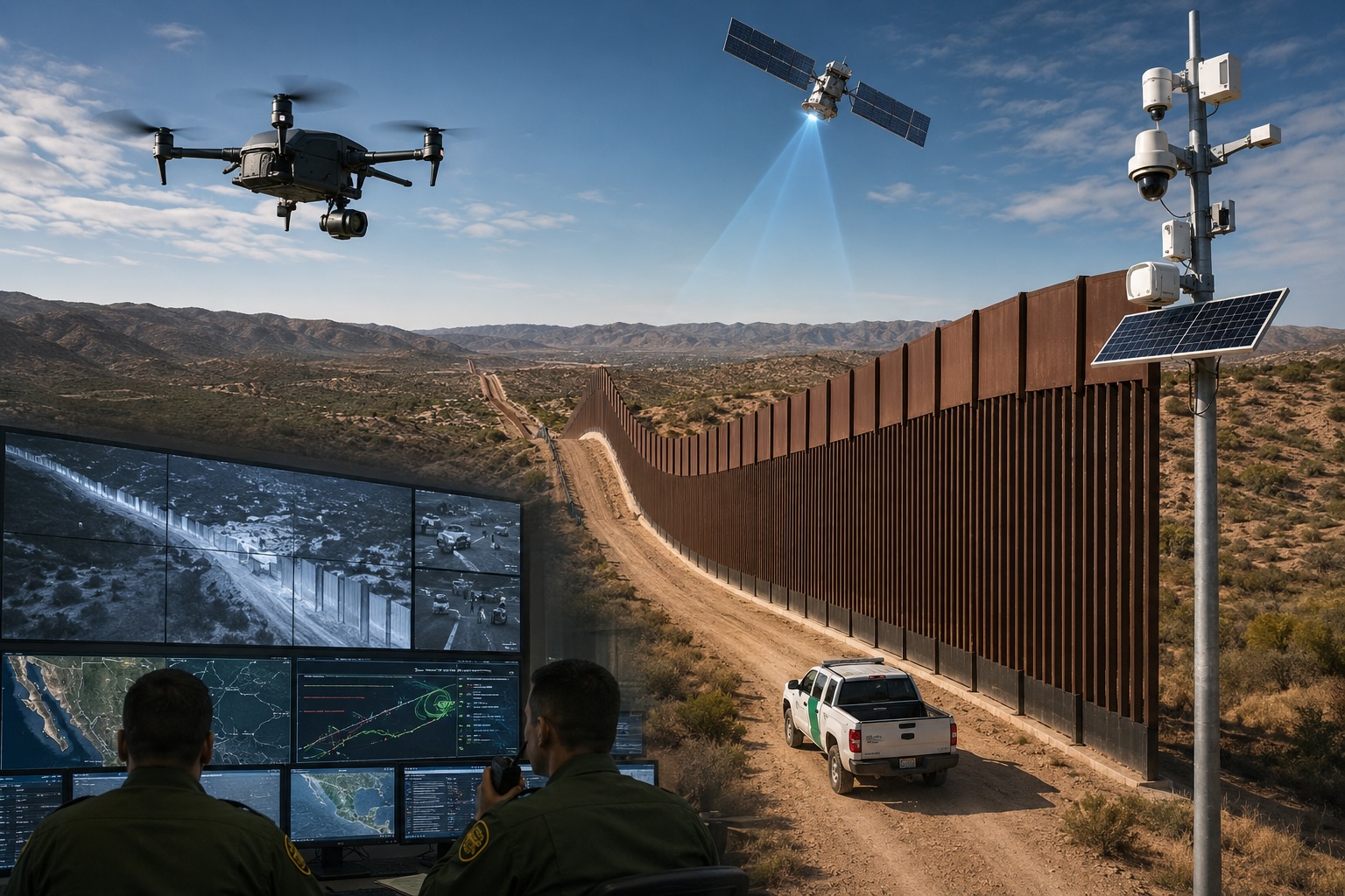
What is going up now is a modern upgrade. The Smart Wall, unveiled by DHS and Customs and Border Protection in October 2025, is a physical barrier and a persistent detection system built as one machine across nearly 2,000 miles: steel, sensors, roads, drones, and satellites.
CBP publishes that work on its Smart Wall Map, an interactive tracker of the entire 1,954-mile U.S.–Mexico border, from the Pacific near San Diego to the Gulf near Brownsville. The agency updates the markers weekly as construction moves. The map covers new primary wall, replacement wall, secondary wall, waterborne barrier, vehicle barrier, and detection-only miles—stretches of remote or park terrain where CBP is installing cameras, sensors, and towers instead of 30-foot steel.
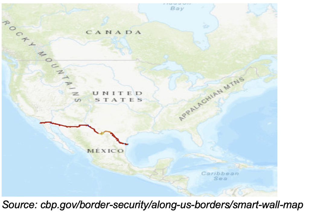
U.S. Customs and Border Protection Smart Wall Map, as of Sept. 1, 2026.
The map tracks the 1,954-mile southwest border by project status: awarded (design), under construction, and completed since Jan. 20, 2025. Colors separate new primary wall, replacement wall, secondary wall, waterborne barrier, vehicle barrier, and detection-only stretches. CBP’s table that day showed about 193 miles completed across types, with hundreds more under construction. Detection-only miles mark terrain where the agency is installing cameras and sensors instead of 30-foot steel, especially in Big Bend.
Trump’s first-term wall was focused on height, length, and presence: about 458 miles of mostly steel and barriers from 2017 to 2021, the bulk of it replacement fencing and only a few dozen miles of new wall on previously unfenced ground. The second-term version builds on that work as a technological operations system. Detection now sits beside the steel.
The wall is changing to match the technology now available. Contracts covering hundreds of miles of these upgrades have been awarded from the $46.5 billion set aside in the 2025 One Big Beautiful Bill, signed July 4. New and replacement primary walls use tall steel bollards. In many sectors a second parallel wall creates an enforcement zone with a road in between.
Along the Rio Grande, cylindrical waterborne barriers and nets are meant to block swimming and small-boat crossings. Vehicle barriers and low-profile rails appear in rugged stretches such as parts of Big Bend, where a 30-foot wall on a cliff top would be pointless.
The sensors sit on and around that steel. Ground sensors, radar, cameras, lighting, and acoustic monitors feed a constant stream. Autonomous towers watch the line without an agent in the cab.
Cameras and radar pick up movement. Onboard AI classifies what it sees as a person, a vehicle, or an animal, and discards the rest. When the signature matches a human or a truck, the tower sends an alert to a patrol unit instead of waiting for someone to notice a blur on a screen.
Satellites and aerial platforms extend the view beyond the fence line.
Drones can patrol at night. Persistent overhead coverage and AI systems ingest the combined feed so humans are not staring at every screen.
That is how CBP describes the Smart Wall at the system level: barrier plus cameras, ground sensors, autonomous towers, AI classification, drones, and satellite feed.
The plan is to add detection technology to hundreds of miles of already-built barrier and to cover additional remote or steep terrain with sensors alone rather than fencing. In agency language, that is “domain awareness” that does not depend on an agent standing at every mile.
CBP is deploying hundreds of miles of technology on the existing barrier, plus hundreds more of detection-only coverage in Big Bend and other stretches where terrain or remoteness makes a palisade useless. East of Santa Elena Canyon toward Amistad Reservoir, cliffs and wilderness make a tall wall pointless.
Officials talk of finishing the primary wall from the Pacific to the Gulf by the end of 2027 and completing the broader system in 2028. Independent reporting has noted that the weekly pace so far would have to accelerate sharply to hit the most aggressive public timelines. The map is the place to watch the building progress on the border.
Under the Biden-Harris years, with Vice President Kamala Harris tasked as the administration’s border czar, southwest Border Patrol encounters ran into the millions. Fiscal 2022 and 2023 each cleared two million encounters. Fiscal 2024 was still above 1.5 million between ports of entry.
Since Trump took office in 2025, that volume collapsed.
Fiscal 2025 still closed at 237,538 southwest Border Patrol apprehensions, the lowest total since 1970, because most of that year’s count was recorded before January 20. Fiscal 2026 is not closed. Through July, southwest Border Patrol apprehensions stood at about 81,000. The year is on pace for about 90,000, fewer than one average Biden-era month.
Daily crossings that had run above 5,000 fell toward a few hundred. The word is out: the Trump administration is not welcoming illegal aliens. CBP agents stopped turning people loose into the country after they crossed.
The $46.5 billion in the One Big Beautiful Bill is meant to keep that border from reopening once the initial shock wears off. The interactive map shows where the steel and sensors are going in. Lasting results are already visible.
The southern border is no longer an open road. It’s being built as a modern detection system by a president committed to keeping it that way.

